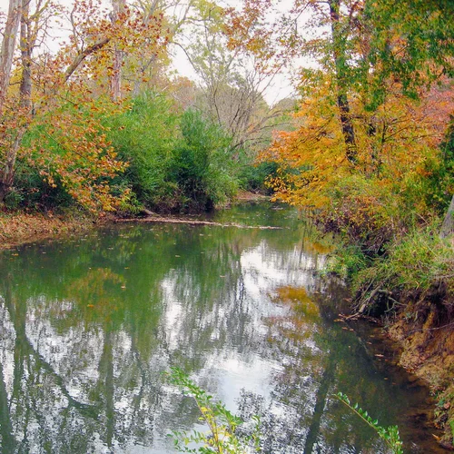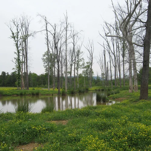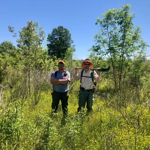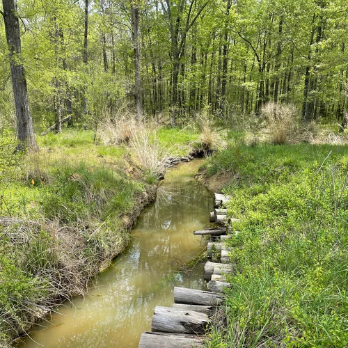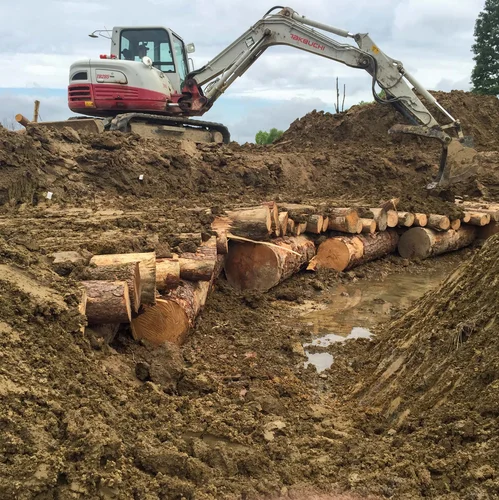
Stream and Wetland Mitigation
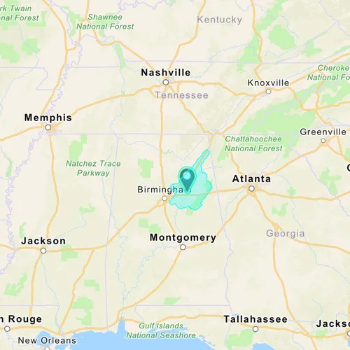
A compensatory mitigation alternative for unavoidable stream and wetland impacts within the Middle Coosa watershed, the 237-acre Canoe Creek Mitigation Bank, located in the Coosa River Basin in St. Clair County, Alabama, restores 132 acres of wetlands and approximately 6,374 linear feet of stream.
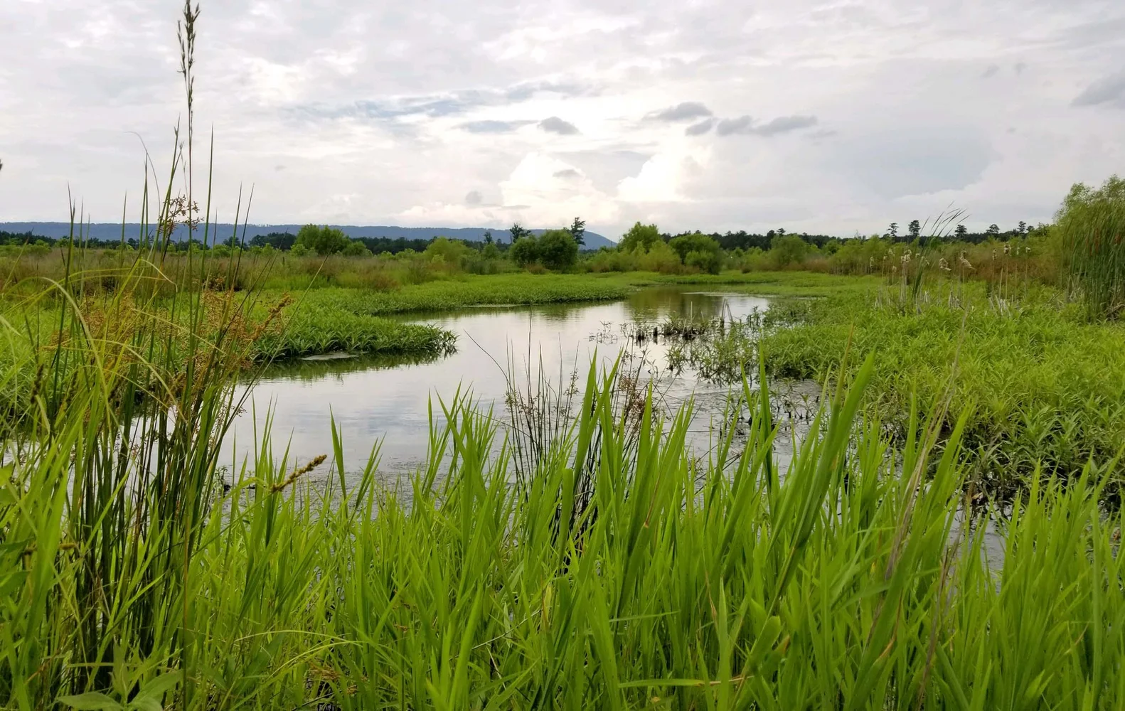
Restoring hardwood forested, riparian hardwood forested, and hardwood forested slope habitat types improves water and habitat quality throughout the Coosa River Basin, which has been identified by the Alabama Department of Conservation and Natural Resources as the largest and most biologically diverse (in terms of overall numbers of fishes, mussels and aquatic snails) sub-watershed of the Mobile River Basin. The basin is home to 147 fish species including the Coldwater Darter, Coosa Darter, Holiday Darter, and Pygmy Sculpin, which are unique to the Coosa River basin.